


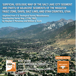

Surficial geologic map of the Salt Lake City segment and part of adjacent segments of the Wasatch fault zone, Davis, Salt Lake, and Utah Counties (M-243dm)
By: S.F. Personius and W.E. Scott
This map shows the surficial deposits and the faults that offset them along the Salt Lake City segment and adjacent parts of the Weber and Provo segment of the Wasatch fault zone in north-central Utah. The map area includes the central and eastern part of the Salt Lake Valley, a site of metropolitan Salt Lake City and its southern suburbs. Although a major surface-faulting earthquake has not occurred on the Wasatch fault zone since the state was settled in 1847, the geologic record contains abundant evidence of large earthquakes during Holocene and late Pleistocene time. The size, age, and distribution of fault scarps produced by these prehistoric earthquakes can be used to determine the most likely sites for future earthquakes, and are therefore the principal focus of this map.
Other Information:
Published: 1992 (digital version 2009)
Plates: 2 pl.
Scale: 1:50,000
Location: Davis County, Salt Lake County, and Utah County
Media Type: Paper Map